20 Best Tips

Norway Geography Printables – Free Educational Printable


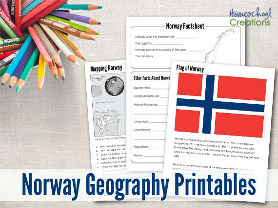
One of my readers emailed and requested a special country set for their upcoming trip to Epcot: Norway! Below you will also find additional helps, learning tools, and lesson plans to help you out as well. 

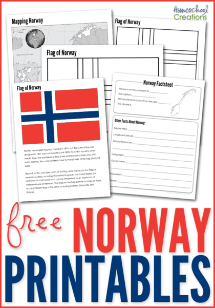
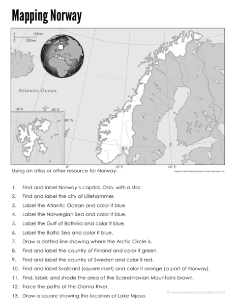
The Norway Geography Printables include the following worksheets:

  • a Norway mapping sheet {map rivers, oceans, major cities, and countries}
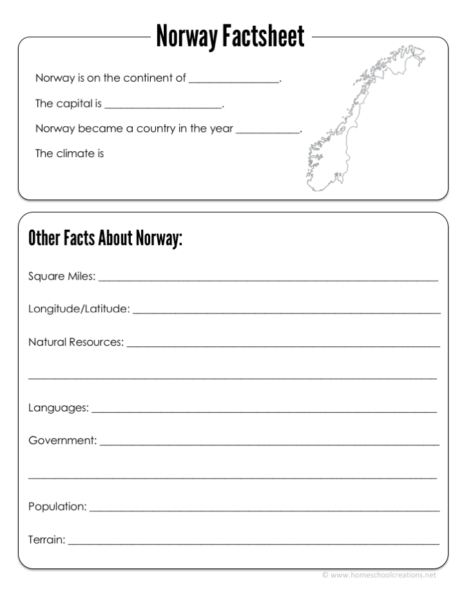
  • a Norway factsheet to write down information about Norway including current population, climate, type of government, and more
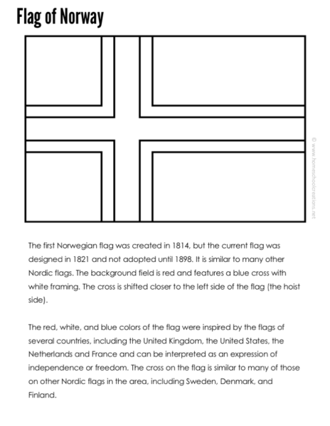
  • a Norwegian flag coloring page 
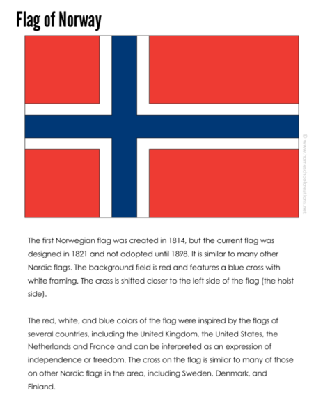
  • a Norwegian flag information sheet and notebooking page


Download button
  
Use the below books to help us fill in the information blanks for the factsheet page: 


More Geography Resources

continent-fact-files-and-flash-cards-from-homeschool-creations_edited-1

FREE Continent Fact Files


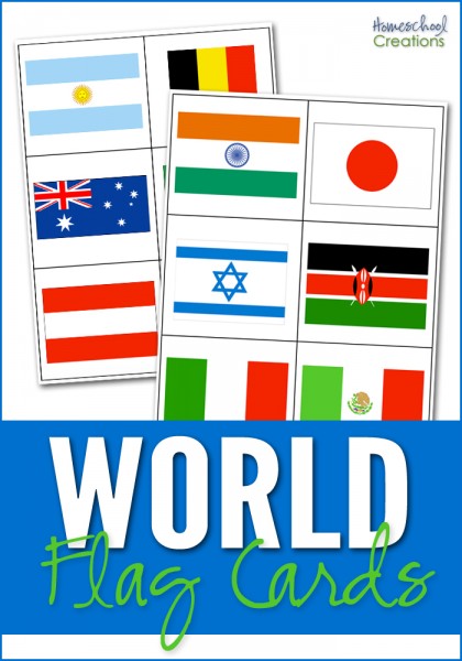
world flag cards for matching free homeschool geography resources 10 tools for teaching geography - hands on ways to incorporate geography learning

Don’t miss these FREE geography printables listed by continent…

Click on one of the globes below to search for geography resources by continent. Each page has downloads for flag coloring and information pages, mapping pages, and links to blog post full of lesson plans and additional information.
Africa   Asia   Australia
Europe    North America    South America
 

We also highly recommend taking part in a Little Passports subscription! Not sure which adventure to choose for your explorer? Check out these Little Passports website for more information. 


Argentina Geography Printables – Free Printable Download


Our recent geography study has taken us to South America and that involved some more updated printables for Kaleb. Argentina is our second stop in our “trip” to South America. The bottom of this post aslo includes additional helps for learning tools, lesson plans, and a book unit from other moms to help you out as well. 

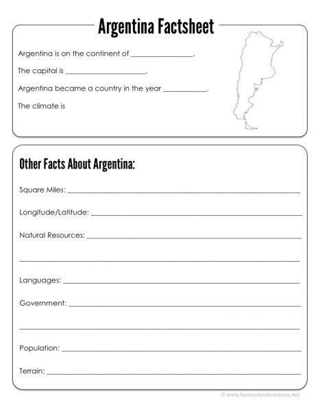
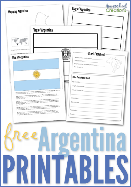
The Argentina Geography Printables include the following worksheets:

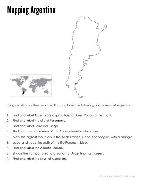
  • an Argentina mapping sheet {map rivers, oceans, major cities, }
  • an Argentina factsheet to write down information about Argentina including current population, climate, type of government, and more
  • an Argentina flag coloring page 
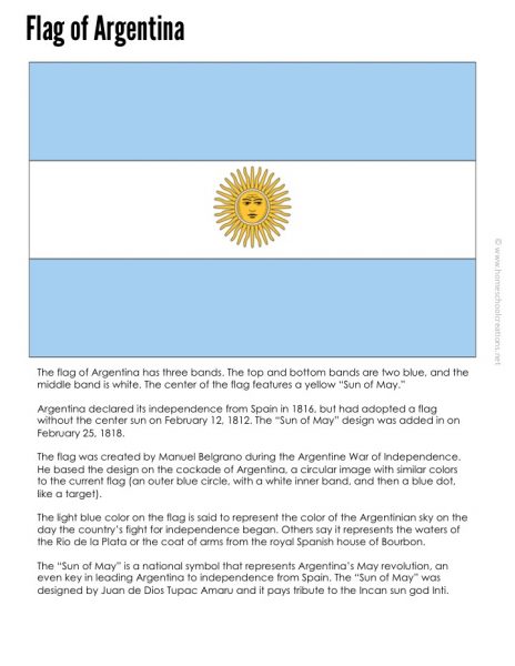
  • an Argentina flag information sheet and notebooking page


Download button
 

We’ve been using the below books to help us fill in the information blanks with our pages: 


More Geography Resources

continent-fact-files-and-flash-cards-from-homeschool-creations_edited-1

FREE Continent Fact Files


world flag cards for matching free homeschool geography resources 10 tools for teaching geography - hands on ways to incorporate geography learning


Don’t miss these FREE geography printables listed by continent…

Click on one of the globes below to search for geography resources by continent. Each page has downloads for flag coloring and information pages, mapping pages, and links to blog post full of lesson plans and additional information.
Africa   Asia   Australia
Europe    North America    South America
 

We also highly recommend taking part in a Little Passports subscription! Not sure which adventure to choose for your explorer? Check out these Little Passports website for more information. 


Brazil Geography Printables – FREE Printable Download

Our recent geography study has taken us to South America and that involved some more updated printables for Kaleb. Brazil is our first stop in our “trip” to South America, but the first stop of several. Below too you will find additional helps for learning tools, lesson plans, and a book unit from other moms to help you out as well. 

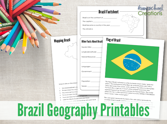
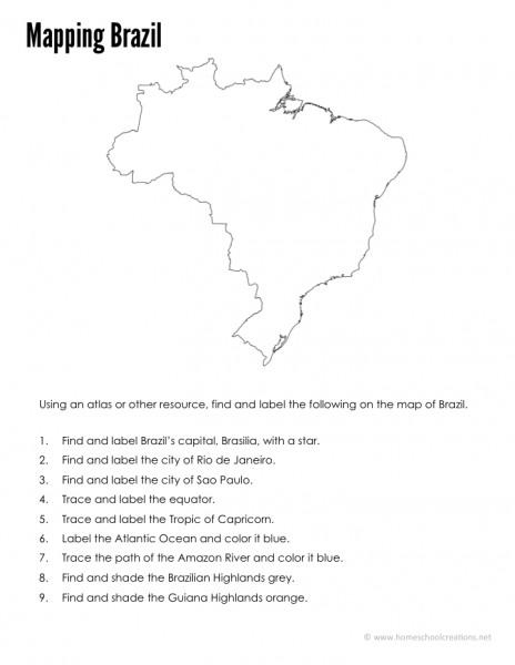
The Brazil Geography Printables include the following worksheets:

  • a Brazil mapping sheet {map rivers, oceans, major cities, }
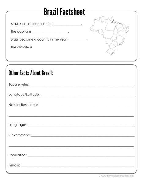
  • a Brazil factsheet to write down information about Brazil including current population, climate, type of government, and more
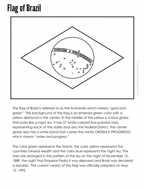
  • a Brazilian flag coloring page (both unofficial and proposed)
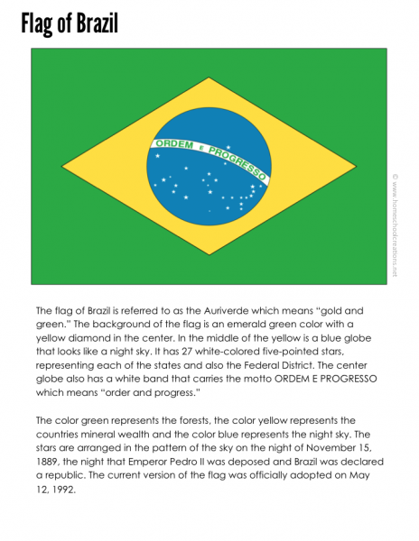
  • a Brazil flag information sheet and notebooking page


Download button
 
We’ve been using the below books to help us fill in the information blanks with our pages: 


More Geography Resources

continent-fact-files-and-flash-cards-from-homeschool-creations_edited-1

FREE Continent Fact Files


world flag cards for matching free homeschool geography resources 10 tools for teaching geography - hands on ways to incorporate geography learning

Don’t miss these FREE geography printables listed by continent…

Click on one of the globes below to search for geography resources by continent. Each page has downloads for flag coloring and information pages, mapping pages, and links to blog post full of lesson plans and additional information.
 

Africa   Asia   Australia
Europe    North America    South America


We also highly recommend taking part in a Little Passports subscription! Not sure which adventure to choose for your explorer? Check out these Little Passports website for more information. 


Antarctica Geography Printables – Free Printables

Antarctica mini unit study

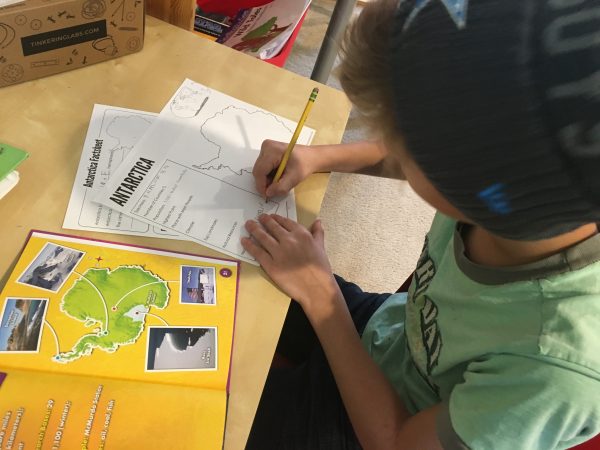
Our recent geography study has taken us to Antarctica and that involved some more updated printables for Kaleb. While Antarctica isn’t a country and doesn’t have a government per se, these were helpful to us in our learning. Below too you will find additional helps for learning tools, lesson plans, and a book unit from other moms to help you out as well. 

Antarctica homeschool printables

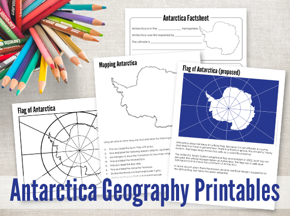
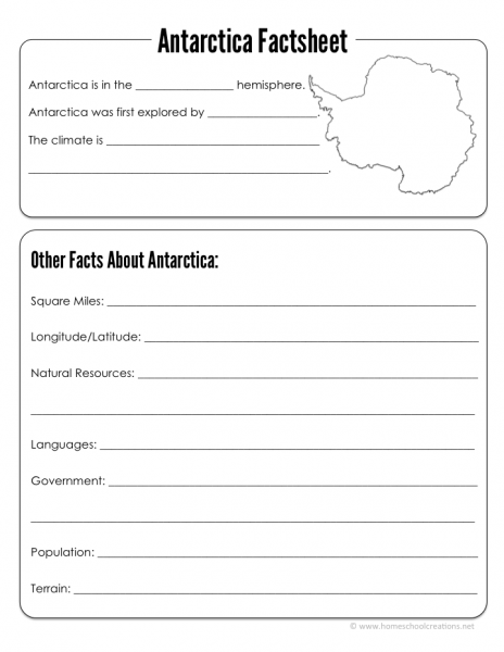
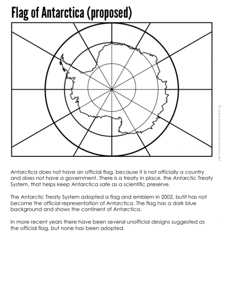
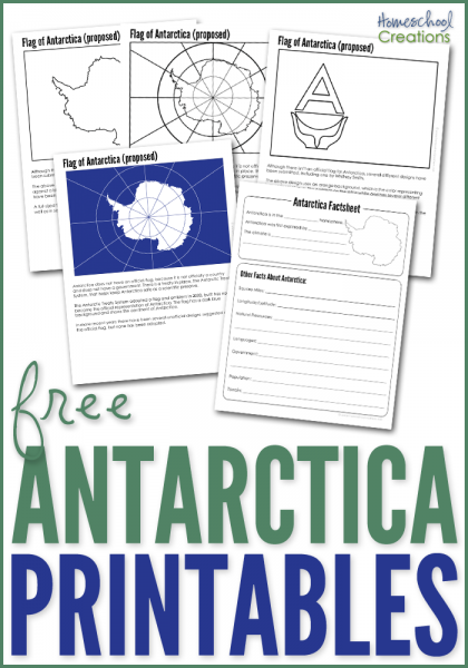
The Antarctica Geography Printables include the following worksheets:

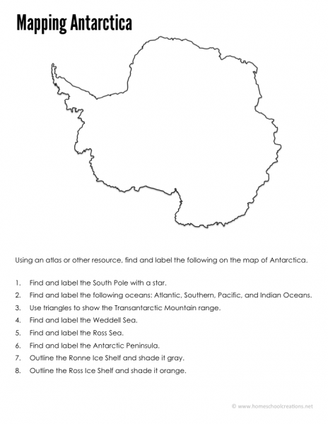
  • an Antarctica mapping sheet {map mountains, oceans, ice shelves, science station, and other geographical information}
  • an Antarctica factsheet to write down information about Antarctica including current population, climate, type of government, and more.
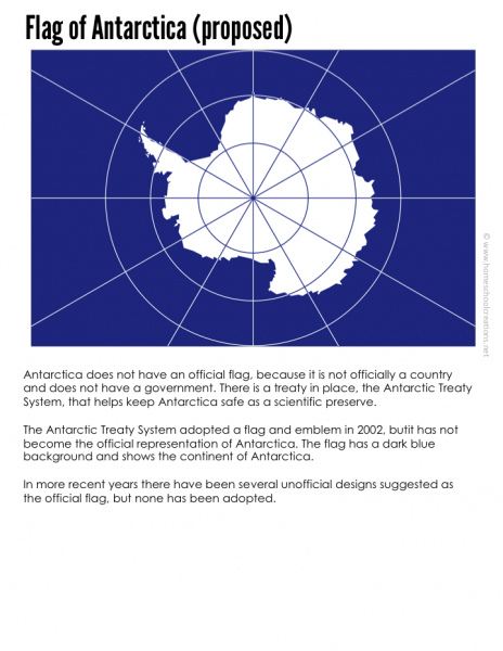
  • an Antarctica flag coloring page (both unofficial and proposed)
  • an Antarctica flag information sheet and notebooking page

Slide10  Slide04
Slide07   Slide02

Download button
 
Antarctica geography printables from Homeschool Creations_edited-1

We’ve been using the below books to help us fill in the information blanks with our pages: 


Here are a few helpful sites to look at in your Antarctica studies:

More Geography Resources

continent-fact-files-and-flash-cards-from-homeschool-creations_edited-1

FREE Continent Fact Files

Don’t miss these FREE geography printables listed by continent…

world flag cards for matching free homeschool geography resources 10 tools for teaching geography - hands on ways to incorporate geography learning

Click on one of the globes below to search for geography resources by continent. Each page has downloads for flag coloring and information pages, mapping pages, and links to blog post full of lesson plans and additional information.
Africa   Asia   Australia
Europe    North America    South America
 

We also highly recommend taking part in a Little Passports subscription! Not sure which adventure to choose for your explorer? Check out these Little Passports website for more information. 

Australia Geography Printables – Free Printables

australia-geography-printables

In our geography studies this year, I have been updating and adding to our printable collection. Today I have a few new and updated printables to share with you based on the country of Australia. If you are working on a geography unit for Australia, these printables will be a fun addition to your learning. Don’t forget to check below too. There are links to several helpful art projects and lesson plans from other homeschool moms to help you out as well.

Australia Mapping Page, Country Factsheet, and Flag Printables

Flag of Australia printable

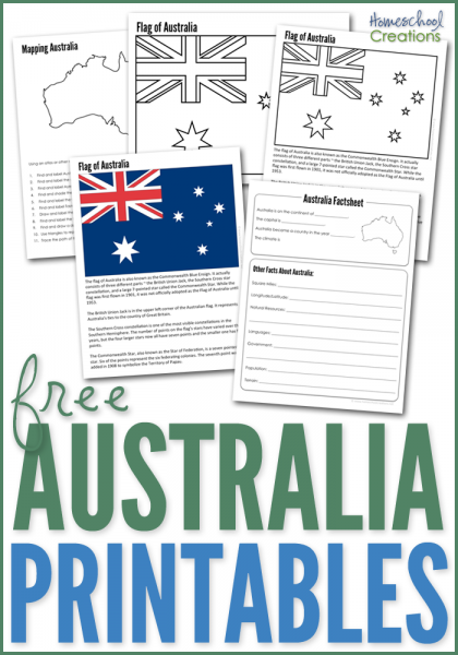
The Australia Geography Printables include the following worksheets:

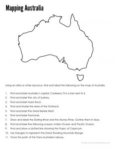
  • an Australian mapping sheet {map rivers, countries, mountains, and other geographical information}
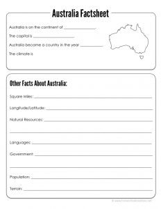
  • an Australian country factsheet to write down information about Australia including when it became a country, current population, climate, type of government, and more
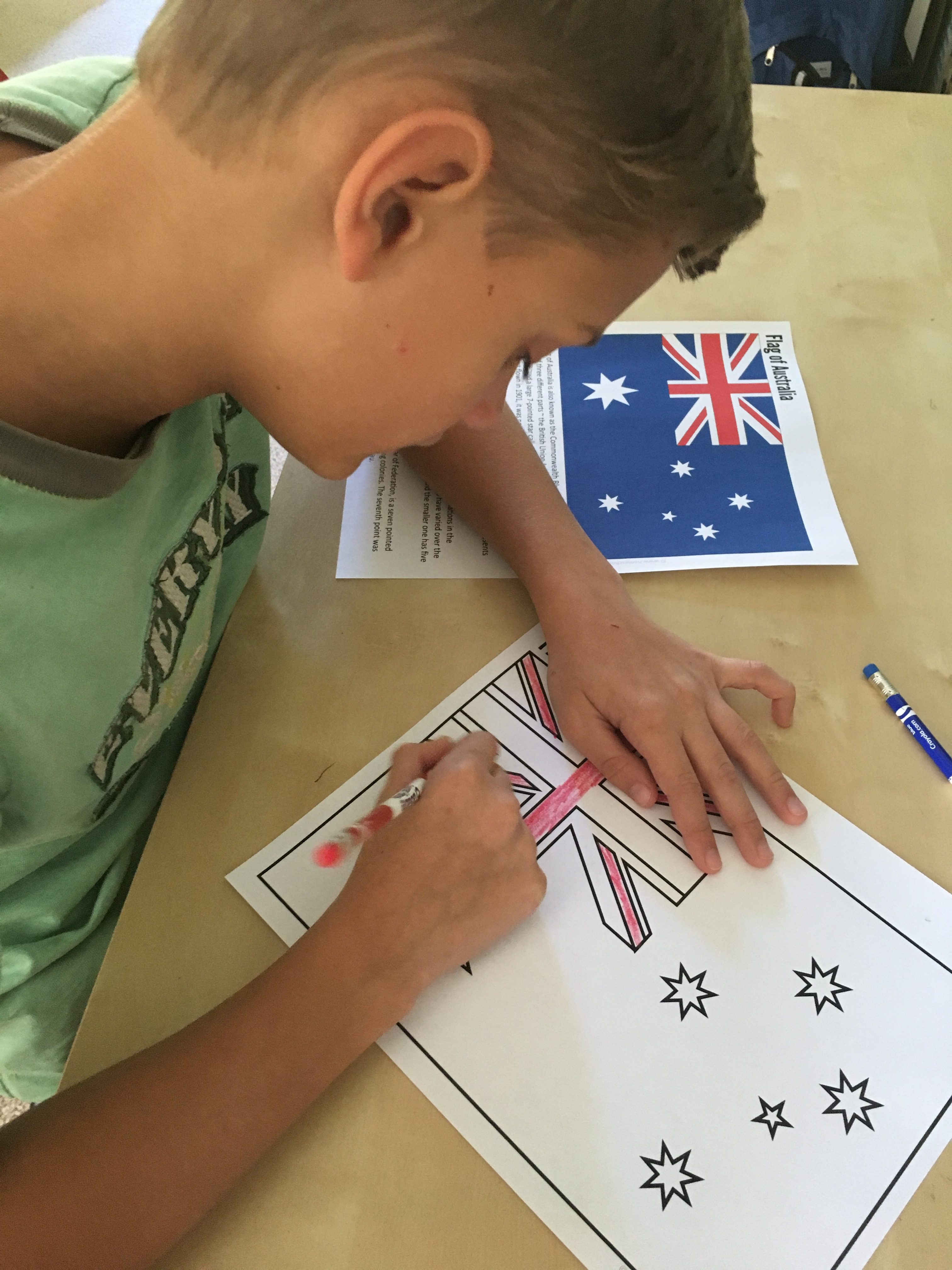
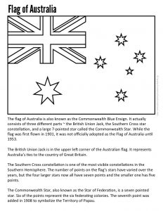
  • an Australia flag coloring page
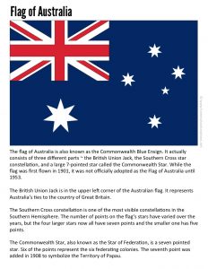
  • an Australian flag information sheet and notebooking page


slide7 slide4 
slide5 slide2  


Download button


We’ve been using the below books to help us fill in the information blanks with our pages: 


More Geography Resources

Here are a few helpful sites to look at in your Australia studies:

Don’t miss these FREE geography printables listed by continent…

continent-fact-files-and-flash-cards-from-homeschool-creations_edited-1


world flag cards for matching free homeschool geography resources 10 tools for teaching geography - hands on ways to incorporate geography learning

Click on one of the globes below to search for geography resources by continent. Each page has downloads for flag coloring and information pages, mapping pages, and links to blog post full of lesson plans and additional information.


Africa   Asia   Australia
Europe    North America    South America


We also highly recommend taking part in a Little Passports subscription! Not sure which adventure to choose for your explorer? Check out these Little Passports website for more information. 

Continents Fact Files Printable – Geography Printables

continent-fact-files-and-flash-cards-from-homeschool-creations_edited-1 

This year Kaleb and I have been wandering around the world via books, Little Passports, and various other things we come across in our travels. We have a slew of resources and to go along with a few of our books, I put together some printables where we could track important information related to the countries. 

continent-fact-files-printables-from-homeschool-creations_edited-1


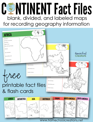
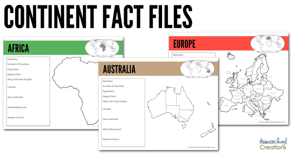
There are several pages for each continent: a blank continent image, one showing countries/territories within the continent, and another labeling each of the countries/territories within the continent (Antarctica only has one page). 

All continent fact pages were designed using the traditional Montessori colors: Africa (green), Antarctica (white), Asia (yellow), Australia (brown), Europe (red), North America (orange),  and South America (pink). 

Each page has room to record the following information and also shows where that continent is in comparison to other continents: 

  • Size/Area
  • Number of Countries
  • Population
  • Highest Point
  • Place with Most People
  • Climate
  • Top Landmarks
  • Natural Resources
  • Nearby Oceans

We’ve been using the below books to help us fill in the information blanks on each continent fact file: 


simple-continent-cards-from-homeschool-creations

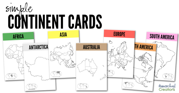
The set also has seven half-sheet printables we recommend printing off onto cardstock and laminating. Use them as larger flash cards to show the various country/territory divisions on the continents. We have a copy in each of our continent boxes and will put them on the wall above our map when we are studying the continent. 


We also highly recommend taking part in a Little Passports subscription! Not sure which adventure to choose for your explorer? Check out these Little Passports blog posts and learn more about their four subscription options:

Download the Continent Fact Files & Continent Cards

Your family is more than welcome to download the 23 page Continent Fact Files as well – and we hope they are a help to you!

 Download button


More Geography Resources


world flag cards for matching free homeschool geography resources 10 tools for teaching geography - hands on ways to incorporate geography learning

Click on one of the globe to search for geography resources by continent. Each page has downloads for flag coloring and information pages, mapping pages, and links to blog post full of lesson plans and additional information.


Africa   Asia   Australia
Europe    North America    South America